
|
I’m a photographer and science lover, particularly engaged with the intersection of the two in visual science communication. I’m interested in finding approaches to sharing science in ways that excite, captivate, and allow people to see and understand the world in new ways.
I've worked as a farmer and raft guide, a roly-poly researcher and podcast maker, and I once lint-rolled a T-rex skeleton during my work at the Smithsonian. I'm a Part 107-certified commercial drone pilot, NOLS graduate, Wilderness First Responder, and an experienced traveler who never passes up a good adventure. After studying Biology and Geology at Pomona College, I embarked on a Thomas J. Watson Fellowship and traveled the Amazon river from source to delta, using photography to tell the story of river science. Since then, I've been working at Berkeley Lab as a photographer and multimedia science communicator. In my spare time I look for other ways to get people excited about seeing through science. Check out my recent work on instagram or my blog, and sign up for my newsletter to stay up to date! |
My work has been featured by:
|


More about my work and interests:
Recent talks
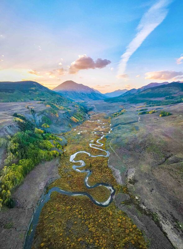
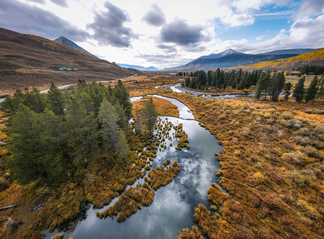
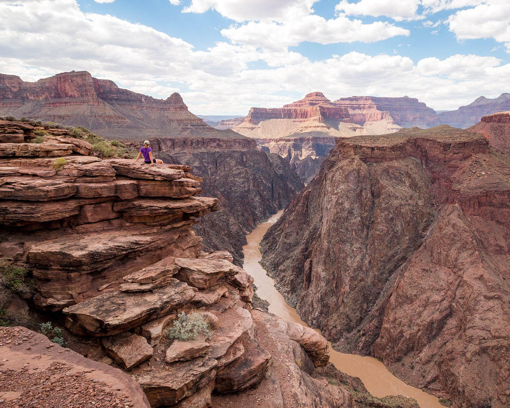
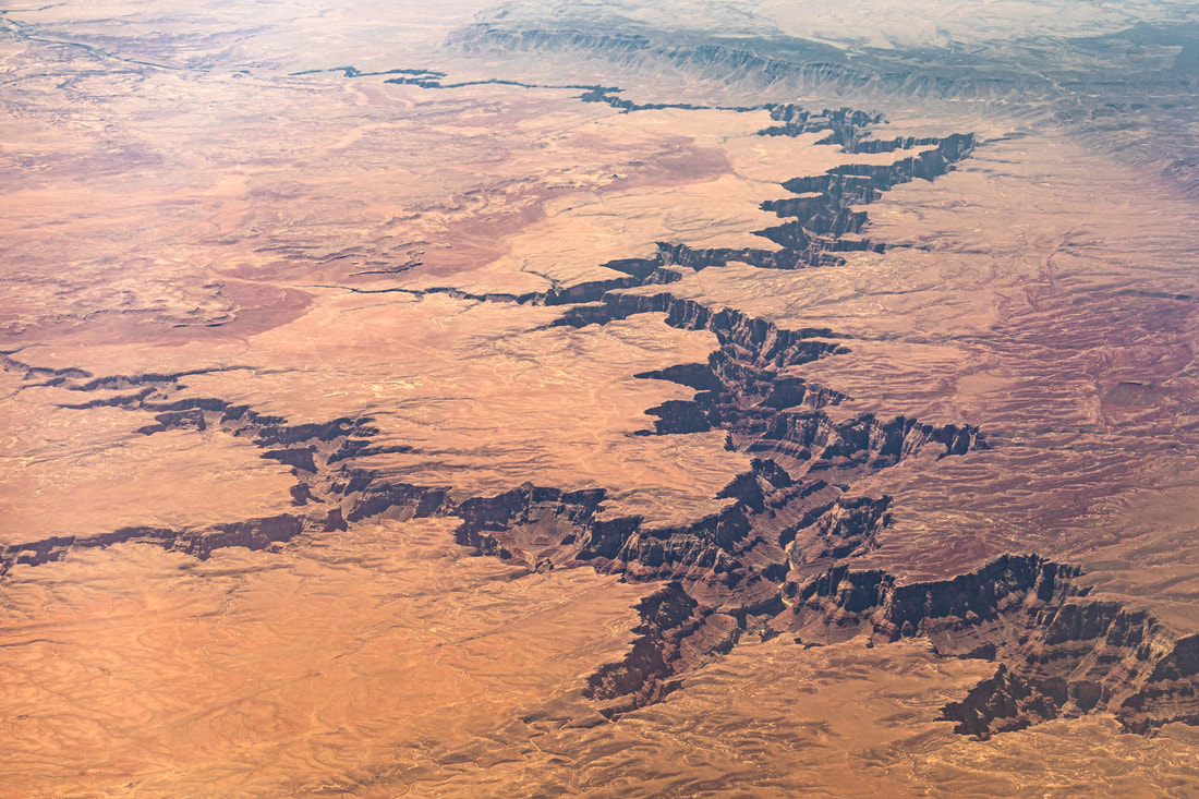
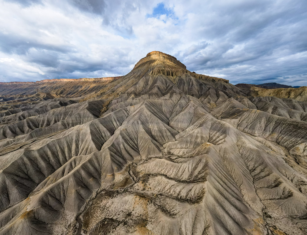
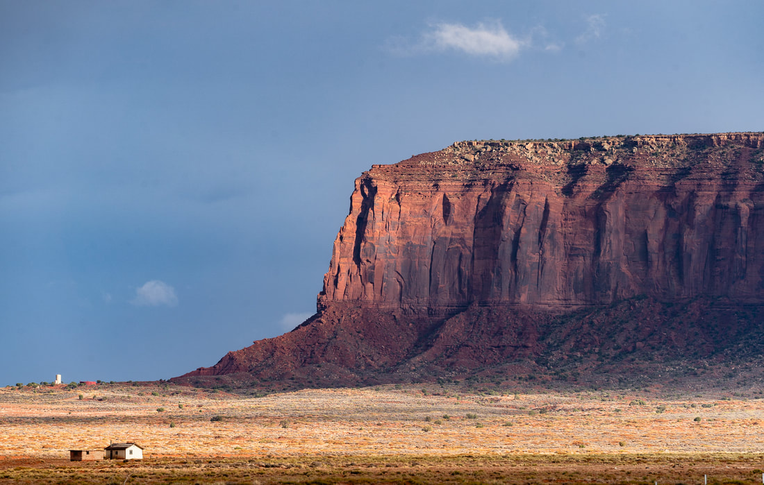
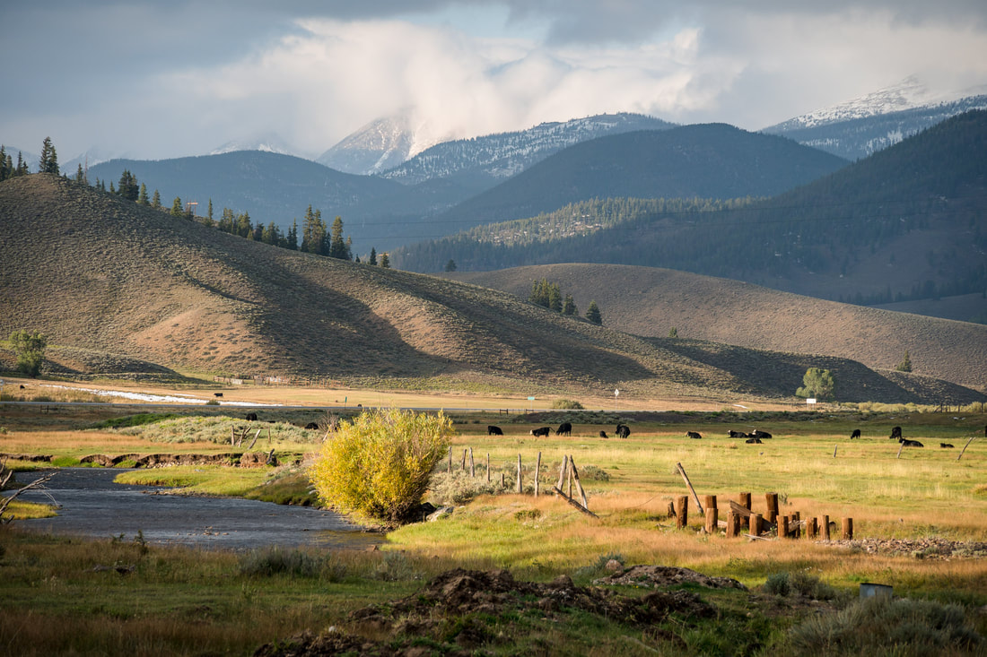
How Water Shaped the West
|
|
|
My Artist Talk with Peak Design
I gave this talk to accompany a gallery show of my photos at the Peak Design flagship store in San Francisco. This recording captures the first half of the talk, about how rivers and watersheds shaped the natural landscapes of the American West.
See the images featured in these shows:


Recent Illustrations
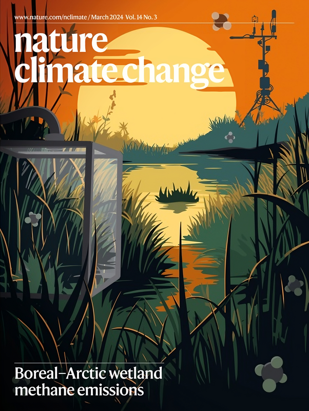
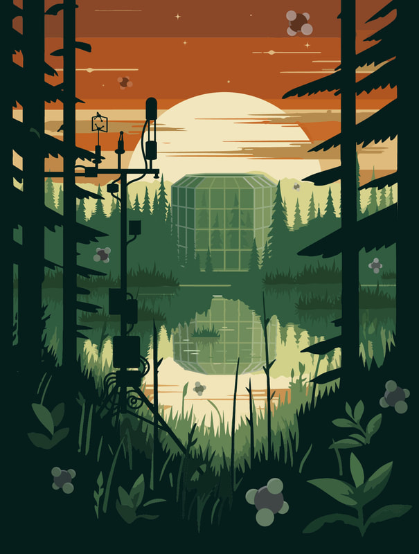
Illustrated Cover Art for Nature Climate Change
|
|
Recent Storymaps
Visual Storytelling WorkMy work at Lawrence Berkeley National Laboratory has given me the chance to teach lessons, create StoryMaps, and document scientific research first-hand. These are two of my recent StoryMaps:
|
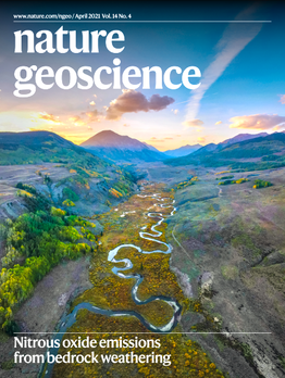
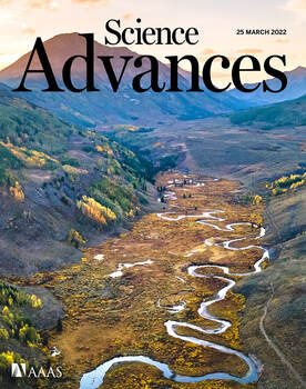
My Watershed StoryMap (and covers of Nature and Science!)
|
|
I'm excited about
Science as X-ray vision
|
I've long been fascinated by the idea that science can transform how people see. In sharing the mechanisms that underlie everyday life, I hope to help others see the hidden inner workings of their world. Seeing in this way adds wonder and intrigue to even the most familiar subjects, and I aim to harness that feeling to make science communication more engaging and relevant.
I've pursued this idea through my work and blog with projects like the Story of Sand, exploring the idea that many things in the natural world have both an "endo-story" (the little world contained within them) and an "exo-story" (the role they play in the world around them). |
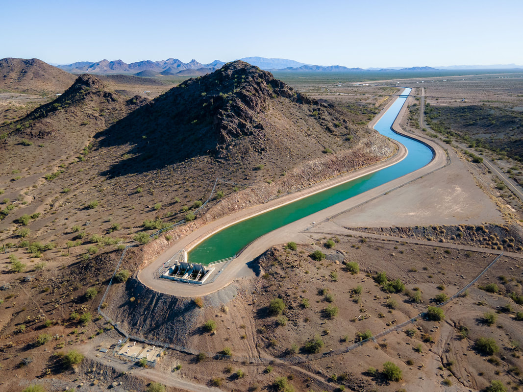
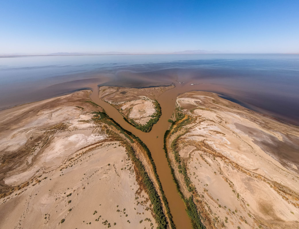
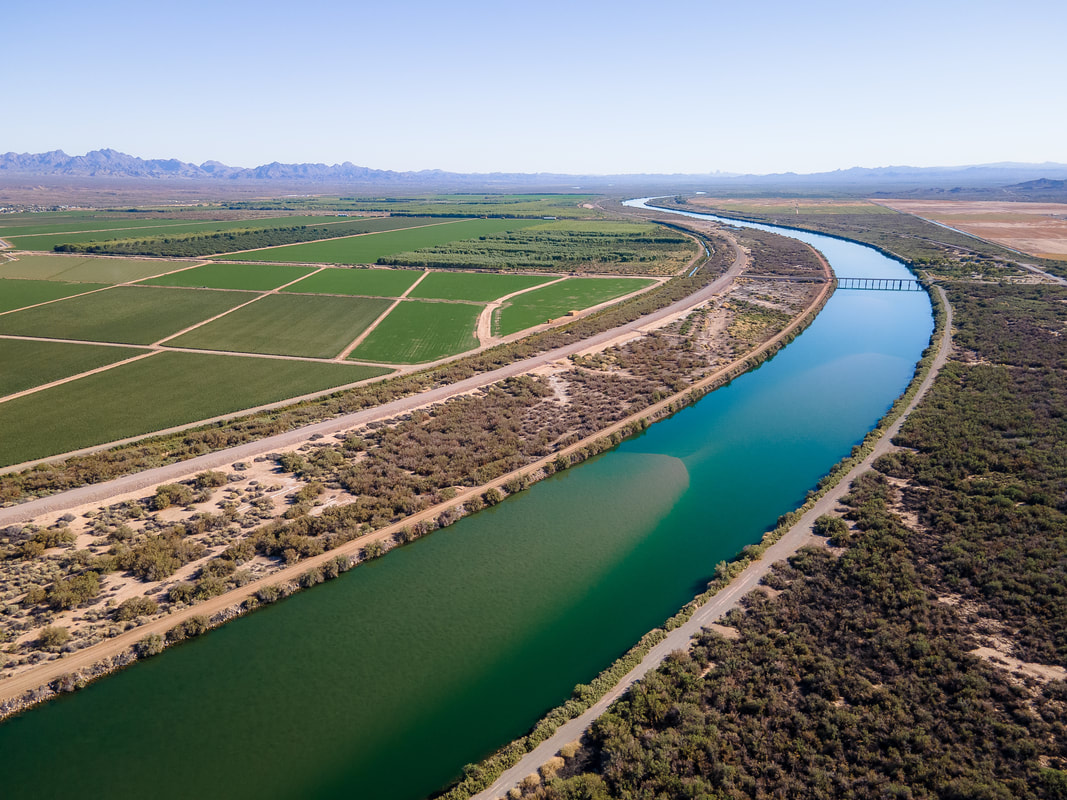
The Watson
|
I spent much of 2019-2020 on a Thomas J. Watson Fellowship, traveling the length of the Amazon River and using photography to showcase the science of river systems.
This project was put on hold for the pandemic, with the exception of a foray along the Colorado River in October 2021. I'm still figuring out how and when I will resume my travels, but my love of rivers and their scientific stories is still going strong. |
My newsletter and blog
|
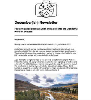
In 2022 I sent out my first monthly newsletter with a new StoryMap I made about the wonders of beavers.
Every few months since then, I've shared out photo essays, life updates, and my favorite photos that don't make it on social media. Check out my blog and sign up for my newsletter to stay in the loop about future projects. |